Copernicus is the most ambitious Earth observation programme to date. It provides accurate, timely and easily accessible information to improve the management of the environment, understand and mitigate the effects of climate change and ensure civil security. Copernicus is headed by the European Commission (EC) in partnership with the European Space Agency (ESA), who develops, builds, flies and operates the Sentinel family of satellites and missions.
A free, full and open data policy has been adopted by the European Union (EU) for the Copernicus programme. Data Access is available at scihub.copernicus.eu. The licence can be found here (PDF), the Terms and Conditions of the Sentinel Scientific Data hub here. Support is provided at eosupport@copernicus.esa.int.
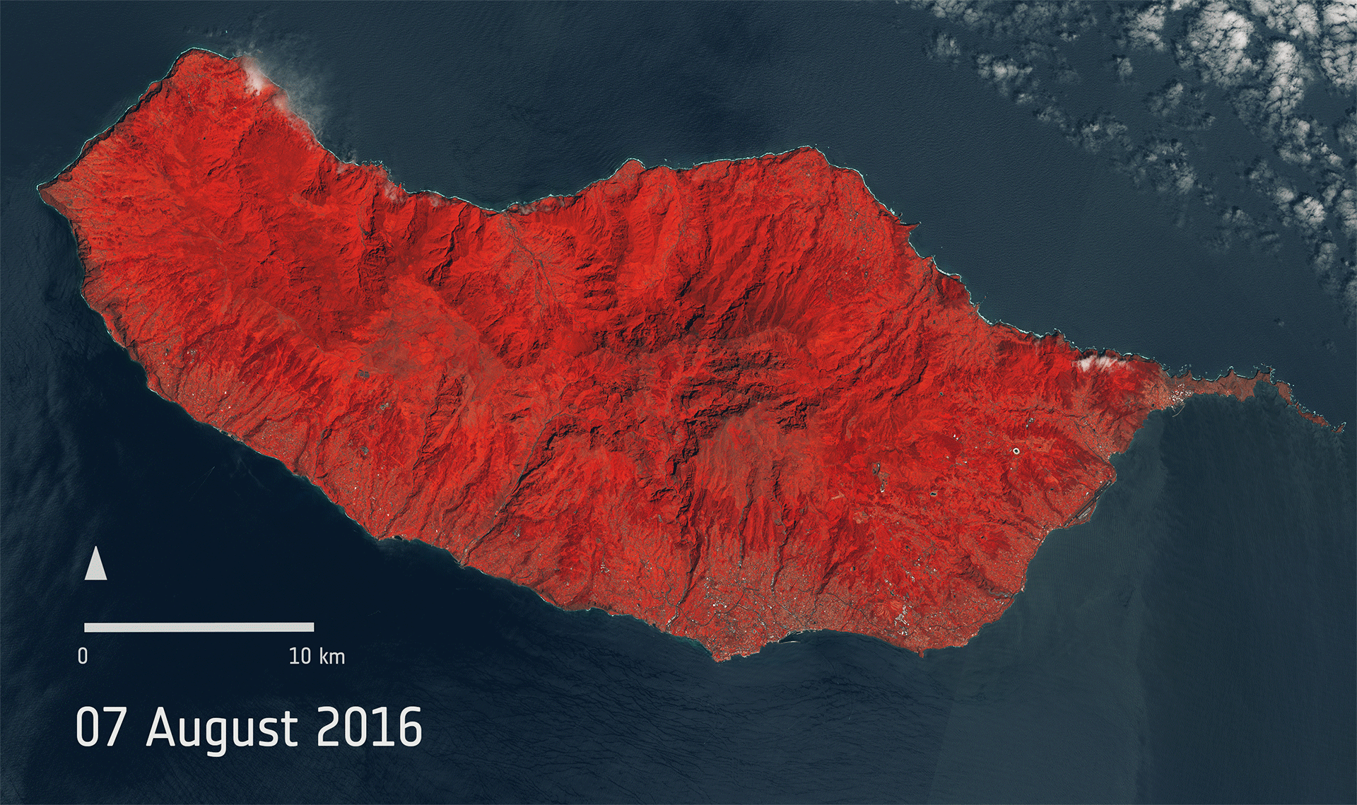
A typical example on how Copernicus Sentinel Data is being used: These two images from ESA’s Sentinel-2A satellite show the beautiful Portuguese main island of Madeira before and after it was devastated by wildfires in August 2016. Image credit: Contains modified Copernicus Sentinel data, processed by ESA, licenced under CC BY-SA 3.0 IGO.
Discussion: no comments